Showing posts with label National parks. Show all posts

9.16.2017

Sol Duc Falls...


I first saw a photograph of Sol Duc Falls on Instagram, a couple of summers ago. It seems that photographing waterfalls was the thing to do that summer, and every time I opened up IG, there were more photos of waterfalls. There were so many waterfalls that I drooled over, and vowed to go see for myself. Most were in the Columbia Gorge, but Sol Duc Falls on the Olympic Peninsula really appealed to me.

Last March we spent our anniversary weekend in Port Angeles, and early one morning, we tried to hike to Sol Duc Falls. But we were a week too early, and the road was still closed. So we made sure the road was open for this trip, and this morning we shouldered our day packs and headed up the trail.


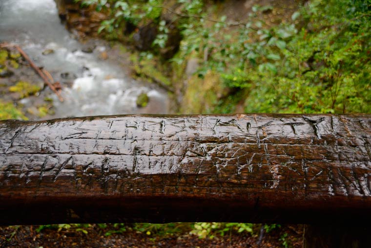
It's a short 8/10 mile to the bridge over the river, with a picture perfect view of the three separate cascades that flow over the basalt cliff. The trail was popular, and cameras and tripods were everywhere. But I managed to get a few shots without a lot of people in them.

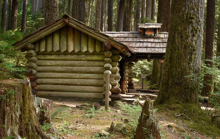
Before we walked back out, we stopped to see the trail shelter that stands on a ledge above the falls, built of logs with an ingenious covered fire ring and chimney just outside the doorway. The shelter is closed for restoration, and the inside has been stripped of bunks and shelving. It's a historic building, and a marker sign explains its history.


I am happy to check this waterfall off my list.

9.23.2016

Cold rain...

The weather has really taken a turn for the worse, but we're heading back to Mt. Rainier in spite of the weather.

East of Federation Forest, as we headed off to circumnavigate the national park, we looked both ways then hopped the guard rail and down into this forest of ancient trees. The patriarch has fallen, taking a fair number of big trees with it, to lie undisturbed between trail and river. You can climb up on the stump (which would hold my round dining room table and 6 chairs), but even more impressive is standing beside the tree.


Next stop, in even harder (and colder) rain, was the Box Canyon, which is in the park from Stevens Canyon entrance. We always stop here to walk the trail and look down at the Muddy Fork of the Cowlitz River. from this bridge, the surface of the river is about 130 feet below, and the canyon is less than 18 feet wide.


As you walk the loop, the huge rock to the right is scoured with deep glacial scratches. We crossed the bridge and decided to keep on walking the loop, even though that meant scrambling over a couple of downed trees. Thoroughly wet by this time, we ran back to the Pilot.


The last stop was at what is probably my favorite waterfall, Christine Falls. It's another place in the park where we always stop, and rarely do we get to see it without fifty people in the way of my photo. The weather worked to our advantage today. Christine Falls is a two-drop falls and is very pretty, but what makes it a beautiful view is the frame made by the stone bridge that crosses the river. I know the view so well, but I never get tired of it.


Wet, but happy with our day, we headed for Buckley and a burger and beer at The Firehouse. Relaxing in this packed bar and grill was the perfect way to end a long day.

10.06.2015

North rim...

It's an 80-mile drive from the main side of the park to the more remote north rim, but it's worth every mile. We headed out early, caught the sunrise lighting up fresh snow (the first this season) on the San Juans.


Very cool (and slightly eerie) Needle Rock stands 800 feet above the valley floor near Crawford, Colorado.


The painted wall from the north rim (and much better light today)


Yep, he really did go out there, but it wasn't as dangerous as it looked. Still, I nearly had a heart attack until he walked back to a safer place.


The scrub oak was turning bright red on this side of the canyon.


There was an earthcache here, so Mac the rock-climbing travel bear rode out to the lookout in my pack.


The last overlook on the north rim is also the only place where horses are allowed (except for the commercial handlers, with permits).

My first golden eagle. He was sitting out in the field as we drove by, and when I gasped, DW hit the brakes and turned around. Just as I got the camera focused on the eagle, it took flight.

10.05.2015

Black Canyon


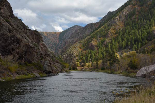
We spent the day exploring the Black Canyon of the Gunnison River. The canyon is literally in Dave's uncle's back yard; you can see the black cliffs jutting above the lower adobe hills right from his fields. We've done plenty of exploring out in these mountains, but I'd never seen the part of the canyon that makes up the national park.

The canyon gets its name because of the steep sides of the canyon walls, so steep that sunlight has trouble penetrating into its depths. This lack of light makes the walls appear black. At its narrowest point, the canyon is only 40 feet wide at the river.


The park protects the deepest part of the canyon, where the sheer walls come the closest together. Park entrance and visitor center are on the south side of the canyon. The narrow road tracks close to the edge, with turnouts and viewpoints to walk to, for a closer look.


The aspens are turning color here, so is the scrub oak. The blaze of color contrasting with the dark rock was spectacular.


There are places inside the canyon that are thick with dark green pines, wide rocky shelves of rock that have collected enough soil for trees to grow.


One of my favorite features in the canyon is the Painted Wall, on the north rim of the canyon, but visible from both sides.


Before we left the park, we drove down the extremely steep blacktop road that goes all the way to the river's edge. Spooky, steep, windy, vertigo-inducing road. Not for the faint of heart, or those without low gears... you could overheat your brakes easily. When we reached the canyon floor I stopped holding my breath, and enjoyed the view.


This house-sized boulder was half in, half out of the river. The trees have grown up around it, and the river is doing its thing. In a million years or so, it will be reduced to a pebble.

6.29.2015

Wild and tame and beautiful


County Kerry is in the southwest part of Ireland, and I look forward to spending more time there... on the next visit. We did get to spend a short amount of time in Killarney National Park, which is a beautiful combination of wild and tame scenery.

I'm used to the national parks of the West, which showcase stunning natural beauty, and also have amazing, rustic lodges built by the CCC. Killarney National Park is different. There are mountains and hiking trails and the local red deer, but the focal point of the part is Muckross House, a 19th century Victorian mansion.

The house stands on the shores of Muckross Lake, with the mountains of the park standing guard behind. It was built in 1839 for Henry Arthur Herbert and his wife, watercolourist Mary Balfour Herbert. During the 400-year period that the Herbert family lived here, this is the fourth house that the family built on the estate. The house wasn't open for visitors while we were here, but a tour would definitely be on my list of "must do's" next time.


The gardens are spectacular. They were extensively expanded and improved in the 1850s, in preparation for a visit by Queen Victoria. The rhododendrons soar way over my head, and there are vast numbers of them, laid out with wide green paths between them. With enough time, you could just choose a path, and wander for hours.


There was a spectacular woodland garden, with native plants and huge trees. And a secret garden. And beautiful greenhouses. We had so little time here, I rushed to see as much as I could, and couldn't take nearly as many photographs as I wanted.


Muckross House, Gardens & Traditional Farms, 
The National Park, Killarney, Co Kerry. Ireland
June 9, 2015

9.24.2014

A limestone cavern in Nevada

On the Road Again Day 3 | Lehman Cave 

Lehman Cave is the main attraction of the Great Basin National Park, and our 90-minute tour was maybe the best ten bucks I've ever spent. The cave is best known for the very rare (and equally spectacular) shield formations; there are more than 300 examples in the cave.


The cave also has prime examples of one of the rarest of all cave formations: bulbous stalactites.


The cave is amazing, worth a detour if you're anywhere near, or a special trip just to see it.


9.23.2014

The Great Basin


On the Road Again Day 2 | Great Basin National Park

When we planned the route for our road trip, this national park caught our eye. We didn't even know there was a national park in Nevada, let alone a huge limestone cave system. We'll detour hundreds of miles to visit a cave; that this one was on our route made it a definite "yes" on our adventure.

It took most of the day to get from south-central Oregon across most of northern Nevada to the nearest town to spend the night. Along the way we made a hotel reservation, and booked a cave tour for tomorrow morning.


The scenery is breath-taking. One flat valley after another, separated by a ridge of hills or mountains. It's a landscape that's nearly without company on the highway, with only a few small towns. We'd climb up one mountain range, down the other side, then cross a wide flat basin... always with the next mountain range in the distance. Stunning.

7.16.2013

Wildflowers at Hurricane Ridge

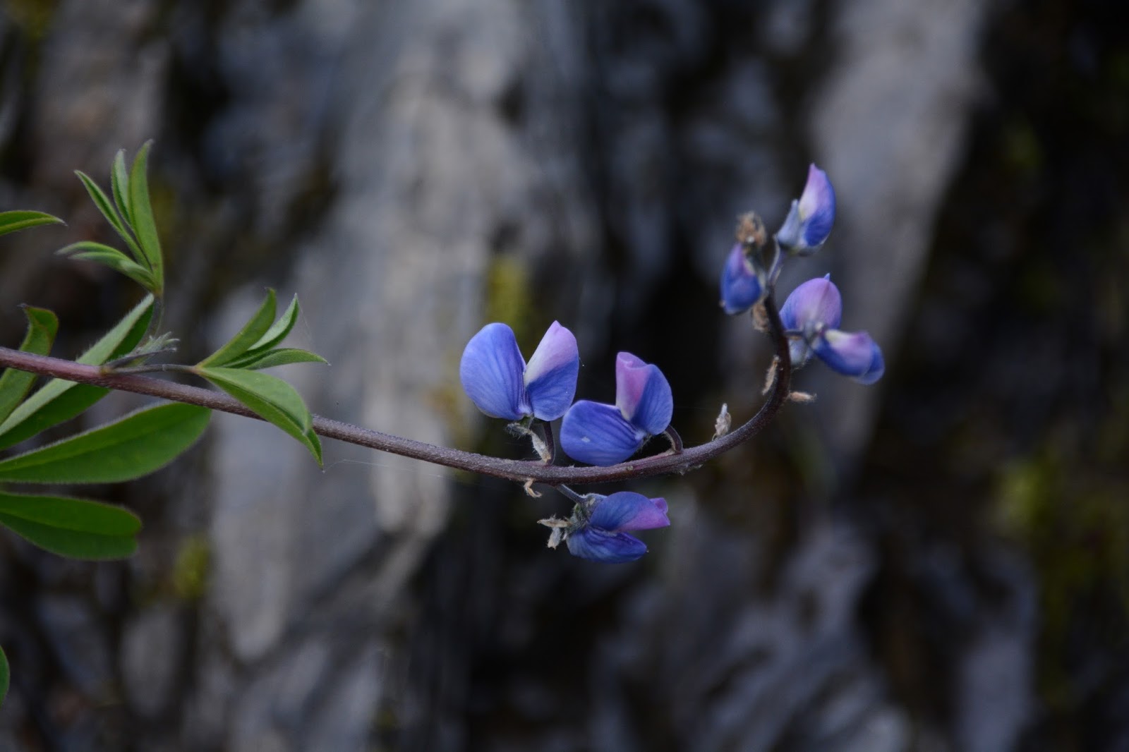
One of the joys of living here is hiking into the mountains mid-summer, and photographing the wildflowers. Every single year the floral displays are different, richer one year, leaner the next. In full bloom in July, or just emerging from the snow in mid-August. You never know what you'll find, and that makes it an adventure.

Today we woke up at our cabin to clear blue skies, and knew this was the day to take a drive to Hurricane Ridge. One rule to remember: if there are any clouds near the Olympics, save the gas for another day.

The view from the top is one of the best you'll find anywhere in Washington... maybe anywhere. From sea level in Port Angeles to the top of the ridge at 5240 feet, it's a short 17 miles. From the top you can see the peaks of the Olympics, the Straits of Juan de Fuca, Vancouver Island, and Mt. Baker.


Today, as gorgeous as the views were, I couldn't get my camera to focus on anything but the wildflower meadows, especially those that line both sides of the 17-mile drive.


9.18.2012

Hiking Crater Lake

Well, this was a first. I've been to Crater Lake several times in my life, the most memorable up to now was the year my family camped here, and on the way from the bathroom to our campsite I ran into a mother bear and cub. A long detour later, I finally made it back to camp.


Today there were no bears in sight (except for the carved ones in the gift shop). But we did have an adventure of a different kind: hiking the trail from the rim down to the lakeshore. Our friends had never been to Crater Lake, and this was the perfect chance to get out of the smoke of the Sisters fires, and do some sightseeing and hiking.

What can I say but "Wow!" You know all those professional photos you see of Crater Lake, the ones with the impossible blue color? These were taken from this trail. You don't get the deep blue from the rim, unless conditions are perfect. But as you walk down the trail, the closer you get to the lake, the deeper the color becomes.

You also see... very clearly... how very pure the water is. There's one place on the rocky shore where people stand to jump into the water, and from that spot it looks like you're making a long leap down. But you're not: the water is so clear, you can't tell the surface from the bottom of the lake. A few times, this clarity fooled my digital camera, keeping it from finding the correct focus.

It's a tough walk back out, but the views are worth every single step.